The tour of this site
Small-group eco tour
Scenic walks, no rock art stop
- Length13 hours
- Rock artNot on itinerary
- Halls Gap60 minutes
- Pricefrom $116
Guides
Language
Currency
See open slotsfrom $116 · cancelling is freeLook up your stop
Short answer
Grampians Gariwerd National Park has the largest number of significant Aboriginal rock art sites in southern Australia, and five easy-to-reach shelters are open to the public.
Heritage essentials
Look at 44 stops
Pick a route and tap a pin or a stop: you get its note and a Google Maps link.
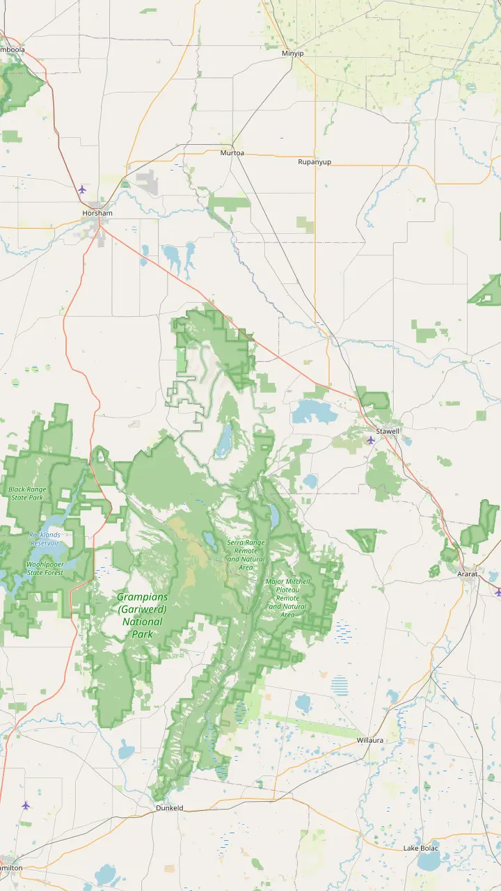
Parks Victoria says to make Brambuk your first stop to learn what Gariwerd-Grampians means to Aboriginal people.
Google MapsBunjil Shelter holds the only known rock art painting of Bunjil, and is a 25-minute drive from Halls Gap.
Google MapsGulgurn Manja has rock art that tells the story of the Jarwadjali people and the landscape they call Gariwerd.
Google MapsThe paintings at Ngamadjidj are unusual because only white clay was used.
Google MapsManja Shelter has some of the best Aboriginal hand stencils in Victoria.
Google MapsBillimina Walk and Rock Art Shelter remain closed because of track damage from the 2024/25 summer bushfires.
Google MapsJadawadjali Falls is a stop on the way up to Billimina Shelter.
Google Maps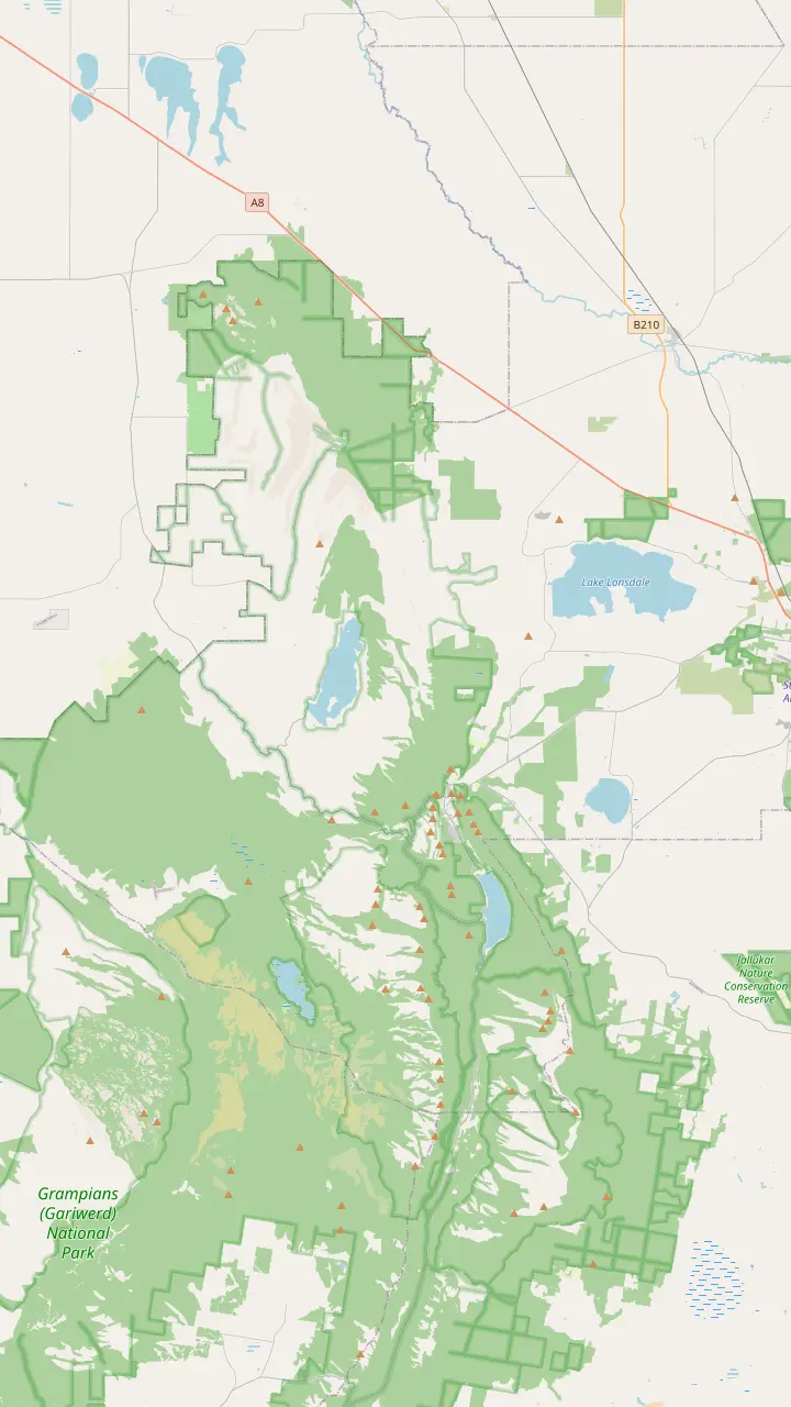
Mount William is the highest point in the Grampians, reached by a steep climb from the Mt William carpark.
Google MapsThe Mount Rosea walk is a strenuous climb with 360-degree views of the Serra and Mount William Ranges.
Google MapsThe Mount Stapylton loop is an adventurous walk through open forest and over rocky outcrops.
Google MapsThe Hollow Mountain climb reaches wind-scoured caverns near the top, with views of Mount Stapylton and the Wimmera Plains.
Google MapsThe Wonderland Loop is a 10 km strenuous walk from Halls Gap.
Google MapsBoroka Lookout is a short 5-minute stroll to two viewing platforms.
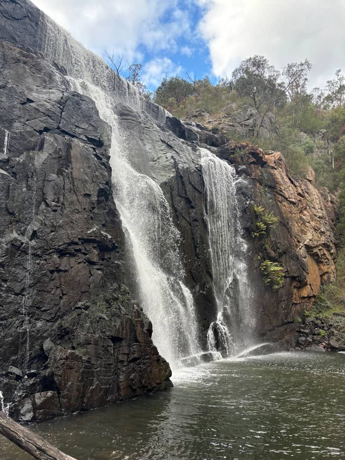
Google MapsThe Mackenzie Falls Walk is 2 km return and goes down 260 narrow steps to the base of the falls.
Google Maps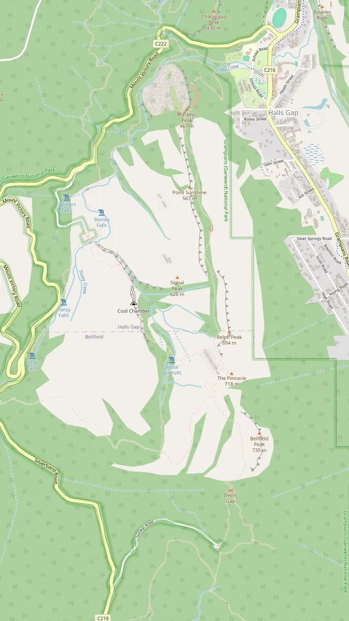
The easiest route to the Pinnacle leaves the Sundial carpark and climbs through Devils Gap.
Google MapsThe climb from the Sundial carpark passes the rock formations of Devil's Gap on its way to the lookout.
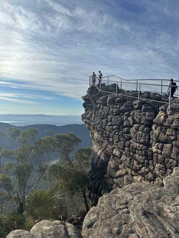
Google MapsFrom the Pinnacle lookout you can see Halls Gap far below and Lake Bellfield.
Google MapsThe Wonderland route continues through the Silent Street before rising to the Pinnacle.
Google MapsThe Grand Canyon Loop is a short strenuous scramble through a gorge below towering rock walls.
Google MapsA more challenging route leaves the Wonderland carpark and climbs through the Grand Canyon.
Google MapsPast Venus Baths the rocky track continues to Splitters Falls and then connects to the Wonderland Car Park.
Google MapsThe route from Halls Gap follows a well-formed track to Venus Baths.
Google MapsThe Pinnacle can also be walked from the Halls Gap caravan park, at the base of the mountains.
Google Maps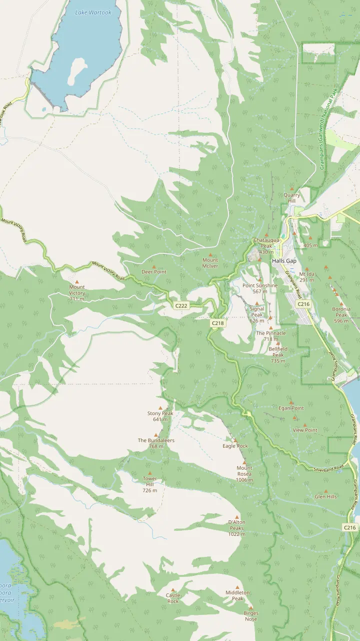
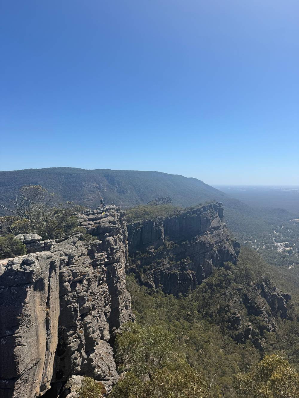
From the summit of Reed Lookout the views take in Victoria Valley, Victoria Range, Serra Range, Lake Wartook and the Mt Difficult Range.
Google MapsFrom the Reed Lookout car park it is a relatively easy 2 km walk on to the Balconies.
Google MapsBoroka Lookout is a short 5-minute stroll to two viewing platforms and suits people with limited mobility.
Google MapsThe Lakeview Loop gives views across the Mount William Range and over Lake Bellfield.
Google MapsSilverband Falls is reached by an easy stroll in the Wonderland Range.
Google MapsBoroka Lookout is 15 km from Halls Gap.
Google Maps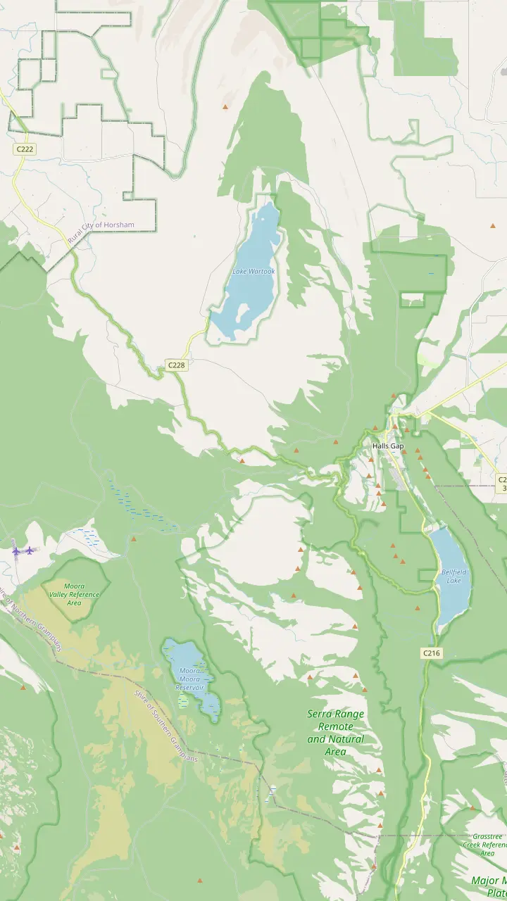
Parks Victoria calls Mackenzie Falls the most iconic and spectacular waterfall in the Grampians.
Google MapsThe Mackenzie Falls Lookout Walk is 1.9 km return and wheelchair friendly.
Google MapsThe Broken Falls Walk is 500 m, wheelchair friendly, with only a slight gradient.
Google MapsThe Zumsteins to Fish Falls walk is a 1.5 to 2 hour return, Grade 3.
Google MapsZumsteins Picnic Area is on the banks of the Mackenzie River at the site of an historic settlement.
Google MapsClematis Falls is an easy 2.4 km return walk and is best seen after rain.
Google MapsSilverband Falls is reached by an easy stroll in the Wonderland Range.
Google MapsSplitters Falls is seasonal and may dry up over summer.
Google Maps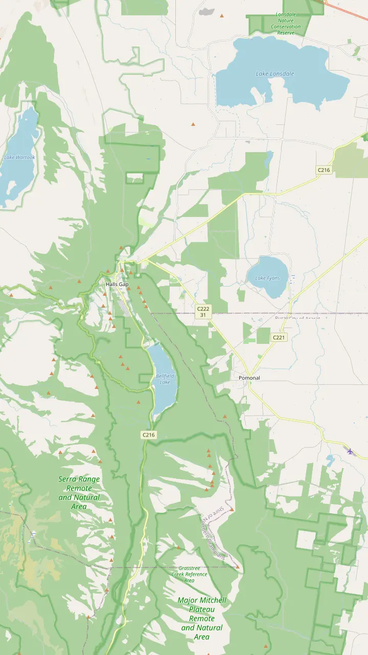
From Halls Gap town you can walk directly to Venus Baths, the Pinnacle, Boronia Peak, Clematis Falls, Chatauqua Peak, Wonderland and Boroka Lookout.
Google MapsThe Brambuk information centre is 2 km south of Halls Gap.
Google MapsHalls Gap Zoo is Victoria's largest regional zoo, with over 120 native and exotic mammals, reptiles and birds.
Google MapsLake Bellfield is 5 km from the main shops in Halls Gap.
Google MapsLake Fyans lies at the foot of the national park, a short drive from Halls Gap.
Google MapsThe Venus Baths loop is a 2.3 km flat track starting in the centre of Halls Gap.
Google MapsWine tours run every Wednesday to Sunday with departures from Halls Gap and Pomonal.
Google MapsMap data from © OpenStreetMap contributors
Gariwerd has the richest concentration of Aboriginal rock art in Victoria. Here are the shelters you can visit, the names behind the map and what is closed.
Editorial team, grampianstour.top · Updated November 7, 2026 · 6 min reading time
Basics
Known traditionally as Gariwerd, the region has more significant and ancient Aboriginal rock art paintings and shelters than anywhere else in southern Australia.1 The park's visitor guide says the landscape has Aboriginal cultural history stretching back at least 22,000 years and has the richest concentration of Aboriginal rock art in Victoria.6,7
Parks Victoria acknowledges the deep, continuing bond between Gariwerd and its Jadawadjali and Djab Wurrung Traditional Owners, and recognises their role in caring for Country.8 Spellings of Jardwadjali vary between sources, and you may see several on signs and websites. The history of Grampians National Park starts here, long before the name Grampians was given.
Parks Victoria and Traditional Owners wrote the Greater Gariwerd Landscape Management Plan in 2021.9 Treat the rules at each site as part of the story, since Visit Grampians calls the rock art sites culturally significant and best explored with care and respect.10
Site by site
| Site | What it shows | Access and status |
|---|---|---|
| Manja Shelter | Hand stencils, animal tracks, stick figures23 | Short walk uphill, boardwalk24 |
| Billimina | Bars, tracks and stick figures21 | Closed after the 2024/25 fires4 |
| Gulgurn Manja | Handprints found only in the north25 | Short walk from Hollow Mountain car park26 |
| Ngamadjidj | White clay figures27 | Self guided, suits prams28 |
| Bunjil's Shelter | The only known painting of Bunjil29 | 25-minute drive from Halls Gap30 |
Site details come from Parks Victoria and Visit Grampians; open or closed status can change, so check before you drive out.
Parks Victoria says Brambuk in Halls Gap, the national park and cultural centre, should be your opening stop for what Gariwerd-Grampians means to Aboriginal people.2 The centre dates to the 1989 building of the Brambuk Cultural Centre, made to acknowledge, protect and share Jadawadjali and Djab Wurrung cultures.14
Parks Victoria calls it an award-winning centre and a window into Gariwerd's rich Aboriginal culture.15 The Cultural Centre building is closed for refurbishment (Parks Victoria notice, 7 November 2026), as Parks Victoria works with a partnership committee of Gariwerd Traditional Owners to reimagine its future.16,5 The agency says Brambuk is moving towards operation by a Gariwerd Traditional Owner entity.17
Plan around the closure. The national park information centre and gift shop stay open, daily from 9 am to 4 pm and closed on Christmas Day.18,19 Staff can give current advice on which shelters are open, hand you a walking map and tell you what the track conditions are like after rain. A short stop there is a good use of the opening hour in the park.
Manja Shelter holds some of Victoria's finest Aboriginal hand stencils.23 A total of 90 stencils have been recorded in its two shelters, and Visit Grampians says people believe a hand stencil marked a visit to a site and renewed a person's ties to it.22,32 The short walk climbs through stringybark forest and over a boardwalk that protects fragile heathland.24
Billimina ranks among the park's most significant and impressive Aboriginal art shelters, with over 2,500 rock art motifs.31 The most interesting aspect is the many bars arranged in horizontal rows, alongside emus, tracks and 55 human stick figures.33,21 A 1976 excavation by archaeologists turned up stone tools plus the remains of plant and animal food.34
The Billimina Walk and its Rock Art Shelter are still closed to visitors after track damage in the 2024/25 summer bushfires, according to the Parks Victoria notice read on 7 November 2026.4,5 Parks Victoria suggests the Manja Walk to the Manja Shelter in the Victoria Range as the alternative.35 The route to Billimina passes Jadawadjali Falls, a pleasant stop on the way up.36
Pick your site
Choose the line that sounds like your day and the matching site sits beside it.
If I travel with a pram or limited mobility
Ngamadjidj
The walk is self guided and suits all fitness types, including prams.28
If I want hand stencils
Manja Shelter
It has some of the best Aboriginal hand stencils in Victoria.23
If I want the only painting of Bunjil
Bunjil's Shelter
It holds the only known rock art painting of Bunjil.29
If I want thousands of motifs
Billimina, once reopened
If I want to start with context
Brambuk
Parks Victoria says to make it your first stop.2
If I have a short day near town
Bunjil's Shelter
It is the closest rock art site, a 25-minute drive away.30
Tours and heritage
The tour of this site
Scenic walks, no rock art stop
Comparison tour
Includes a Brambuk stop
Comparison tour
Lookouts and walks
At Gulgurn Manja the rock art tells of the Jarwadjali people and their landscape, which they call Gariwerd.67 Some of the paintings and motifs are found only in the northern Grampians, and the handprints, which are only found in northern Gariwerd, were in many cases made by children.78,25 Marks where stone was broken from the walls to make tools can still be seen.79
The shelter is a short walk from the Hollow Mountain car park, and it is a 40-minute drive from Halls Gap.26,77 That makes the rock art in Grampians National Park at Gulgurn Manja a half-day outing from town rather than an add-on to a quick lookout stop. Combine it with the Ngamadjidj Shelter and the Mount Stapylton area to make a northern day.
The Ngamadjidj Shelter Walk is self guided and suits all fitness types, including prams and limited mobility.28 The paintings are unusual because only white clay was used, where elsewhere in Gariwerd the paintings were mostly done in red pigment.27 The remnants of 16 painted figures are on the panel, and some are becoming very faint.20 Campfire remains and stone tools suggest it was a favoured camping place.80
Time in Gariwerd
Deep time
The sandstone ranges began forming approximately 430 million years ago.11
Long before settlement
The cultural history dates back at least 22,000 years.6
Naming
The Grampians was named after the Grampian Mountains in 1836.12
Tourism begins
Tourism was established in the early 1900s.13
Cultural centre
Brambuk was built in 1989 to share Jadawadjali and Djab Wurrung cultures.14
Management plan
Parks Victoria and Traditional Owners wrote the Greater Gariwerd Landscape Management Plan in 2021.9
Bunjil Shelter lies in the Black Range Scenic Reserve near Stawell and holds the only known rock art painting of Bunjil.29 Visit Grampians says it is regarded widely as among the most significant cultural sites in south eastern Australia.81 It is the closest rock art site to Halls Gap, a 25-minute drive away.30
Visit Grampians describes the creator spirit watching over the valley with arms outstretched in a gesture of protection and belonging.82 The site is a place for quiet; stand back, look slowly and leave no trace. If you can, read the signs before you look at the painting, since the context shapes what you see.
Visit Grampians says the rock art sites in the national park are culturally significant, best explored with care and respect, and that interpretive signage helps share their stories.10 Check the opening and access details with Parks Victoria before you set out.
Video
Nikitin Family Adventures on YouTube · Video data is requested only when you tap play.
Traditionally known as Gariwerd, this region is home to the largest number of significant and ancient Aboriginal rock art paintings and shelters in southern Australia
Visit with care
Places often carry a second name. Mackenzie Falls is also Migunang wirab, on Jardwadjali and Djab Wurrung Traditional Lands.83 Mount William is called Duwul and is the highest peak in the park.84 Fyans Creek is Barri yalug.85
The new viewing platform at Mackenzie Falls will carry elements of the blackfish, a species important to the cultural landscape of Migunang wirab.86 Parks Victoria's own site pages use the local names beside the English ones, and you can use both on a walk. Learn a few before you go and they will recur on each sign.
Jadawadjali Falls, also signed as Buandik Falls, sits on the track to Billimina.36 Visit Grampians asks visitors to walk respectfully, listen with curiosity and remember that culture here is not behind glass.76 The names are part of that culture and a good way into it.
The Grampians took its name from Scotland's Grampian Mountains in 1836.12 Tourism was established in the early 1900s.13 The sandstone ranges themselves began forming approximately 430 million years ago.11 Against those spans, the colonial period is a short chapter.
The 2024-25 summer fires burned 135,000 hectares, close to 80% of the park.87 Parks Victoria says Traditional Owners carried out strategic fire management to protect key cultural sites.88 The agency calls the park a Nationally Heritage Listed bio-cultural landscape that reflects countless generations of skills, knowledge and culture.89
That is the context for a day trip. The small-group day tour sold on this site is a scenic walking day with a Halls Gap lunch, and its record does not list a rock art shelter. If heritage is your priority, give it a day of its own or choose a guide who specialises in it, then use Brambuk to prepare.
FAQ
Parks Victoria says the region is traditionally known as Gariwerd and has the largest number of significant Aboriginal rock art sites in southern Australia.1
The visitor guide says the cultural history dates back at least 22,000 years.6
The visitor guide says five easy-to-access rock art shelters are open to the public.3
The record for the 13-hour day does not list a rock art shelter among its stops.
Sources
Further reading
Questions about the Grampians day? A real person answers here.