Anyone can go
Easy
Lookouts and Venus Baths
- Boroka5 minutes
- Venus Baths2.3 km
- AccessSome wheelchair friendly
Guides
Language
Currency
See open slotsfrom $116 · cancelling is freeLook up your stop
Look at 44 stops
Pick a route and tap a pin or a stop: you get its note and a Google Maps link.
Mount William is the highest point in the Grampians, reached by a steep climb from the Mt William carpark.
Google MapsThe Mount Rosea walk is a strenuous climb with 360-degree views of the Serra and Mount William Ranges.
Google MapsThe Mount Stapylton loop is an adventurous walk through open forest and over rocky outcrops.
Google MapsThe Hollow Mountain climb reaches wind-scoured caverns near the top, with views of Mount Stapylton and the Wimmera Plains.
Google MapsThe Wonderland Loop is a 10 km strenuous walk from Halls Gap.
Google MapsBoroka Lookout is a short 5-minute stroll to two viewing platforms.
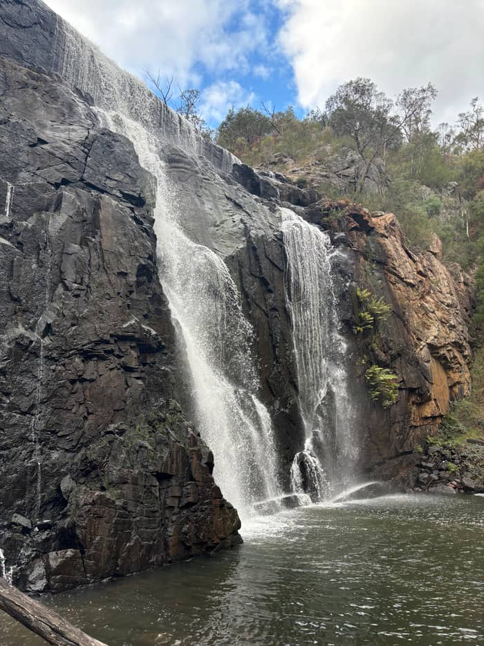
Google MapsThe Mackenzie Falls Walk is 2 km return and goes down 260 narrow steps to the base of the falls.
Google Maps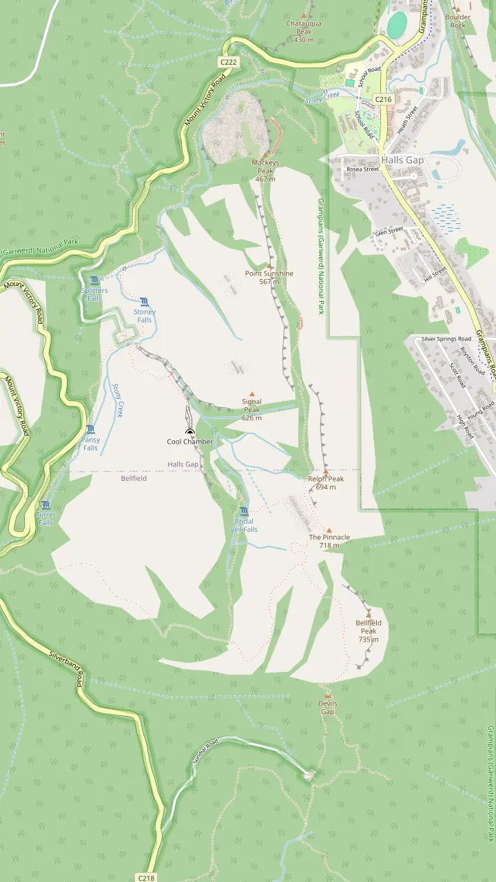
The easiest route to the Pinnacle leaves the Sundial carpark and climbs through Devils Gap.
Google MapsThe climb from the Sundial carpark passes the rock formations of Devil's Gap on its way to the lookout.
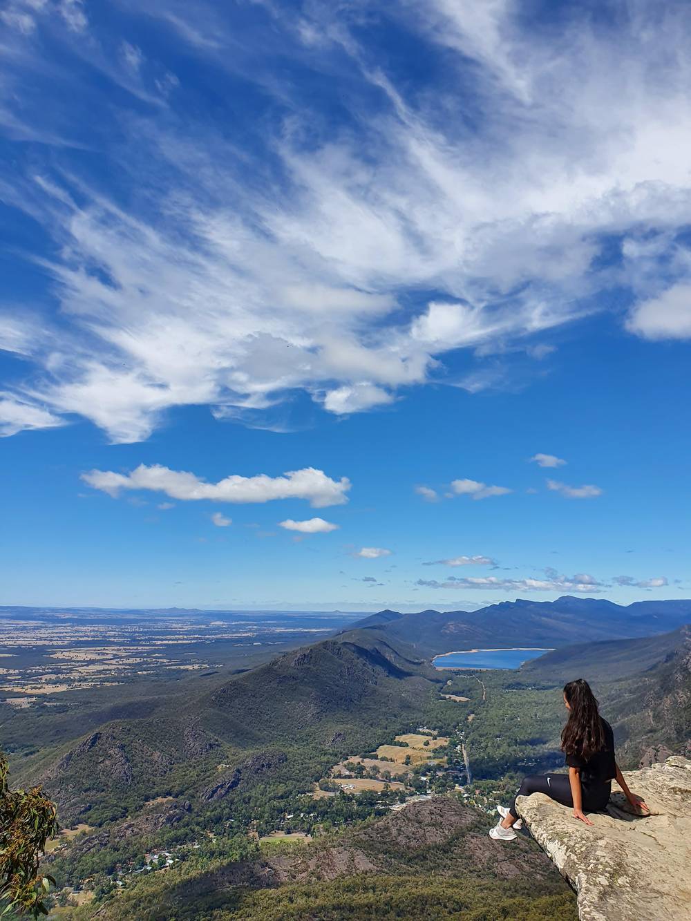
Google MapsFrom the Pinnacle lookout you can see Halls Gap far below and Lake Bellfield.
Google MapsThe Wonderland route continues through the Silent Street before rising to the Pinnacle.
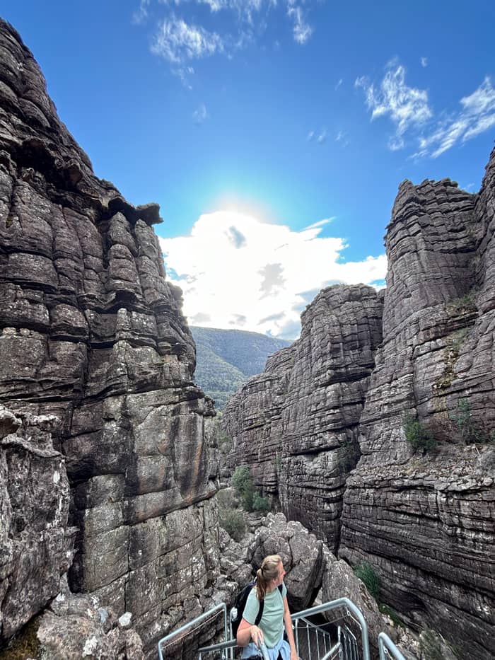
Google MapsThe Grand Canyon Loop is a short strenuous scramble through a gorge below towering rock walls.
Google MapsA more challenging route leaves the Wonderland carpark and climbs through the Grand Canyon.
Google MapsPast Venus Baths the rocky track continues to Splitters Falls and then connects to the Wonderland Car Park.
Google MapsThe route from Halls Gap follows a well-formed track to Venus Baths.
Google MapsThe Pinnacle can also be walked from the Halls Gap caravan park, at the base of the mountains.
Google Maps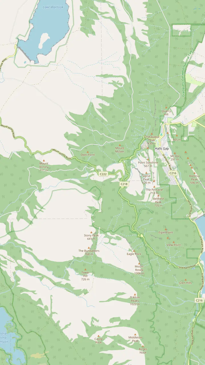
From the summit of Reed Lookout the views take in Victoria Valley, Victoria Range, Serra Range, Lake Wartook and the Mt Difficult Range.
Google MapsFrom the Reed Lookout car park it is a relatively easy 2 km walk on to the Balconies.
Google MapsBoroka Lookout is a short 5-minute stroll to two viewing platforms and suits people with limited mobility.
Google MapsThe Lakeview Loop gives views across the Mount William Range and over Lake Bellfield.
Google MapsSilverband Falls is reached by an easy stroll in the Wonderland Range.
Google MapsBoroka Lookout is 15 km from Halls Gap.
Google Maps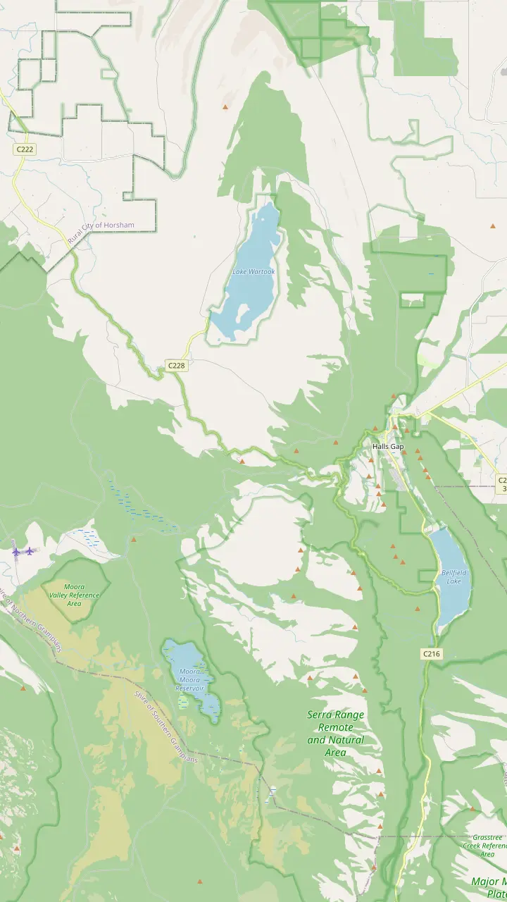
Parks Victoria calls Mackenzie Falls the most iconic and spectacular waterfall in the Grampians.
Google MapsThe Mackenzie Falls Lookout Walk is 1.9 km return and wheelchair friendly.
Google MapsThe Broken Falls Walk is 500 m, wheelchair friendly, with only a slight gradient.
Google MapsThe Zumsteins to Fish Falls walk is a 1.5 to 2 hour return, Grade 3.
Google MapsZumsteins Picnic Area is on the banks of the Mackenzie River at the site of an historic settlement.
Google MapsClematis Falls is an easy 2.4 km return walk and is best seen after rain.
Google MapsSilverband Falls is reached by an easy stroll in the Wonderland Range.
Google MapsSplitters Falls is seasonal and may dry up over summer.
Google Maps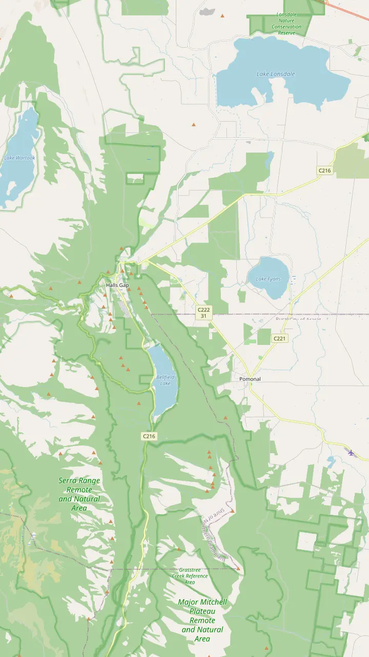
From Halls Gap town you can walk directly to Venus Baths, the Pinnacle, Boronia Peak, Clematis Falls, Chatauqua Peak, Wonderland and Boroka Lookout.
Google MapsThe Brambuk information centre is 2 km south of Halls Gap.
Google MapsHalls Gap Zoo is Victoria's largest regional zoo, with over 120 native and exotic mammals, reptiles and birds.
Google MapsLake Bellfield is 5 km from the main shops in Halls Gap.
Google MapsLake Fyans lies at the foot of the national park, a short drive from Halls Gap.
Google MapsThe Venus Baths loop is a 2.3 km flat track starting in the centre of Halls Gap.
Google MapsWine tours run every Wednesday to Sunday with departures from Halls Gap and Pomonal.
Google Maps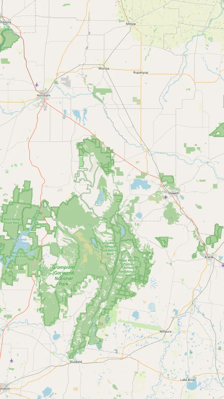
Parks Victoria says to make Brambuk your first stop to learn what Gariwerd-Grampians means to Aboriginal people.
Google MapsBunjil Shelter holds the only known rock art painting of Bunjil, and is a 25-minute drive from Halls Gap.
Google MapsGulgurn Manja has rock art that tells the story of the Jarwadjali people and the landscape they call Gariwerd.
Google MapsThe paintings at Ngamadjidj are unusual because only white clay was used.
Google MapsManja Shelter has some of the best Aboriginal hand stencils in Victoria.
Google MapsBillimina Walk and Rock Art Shelter remain closed because of track damage from the 2024/25 summer bushfires.
Google MapsJadawadjali Falls is a stop on the way up to Billimina Shelter.
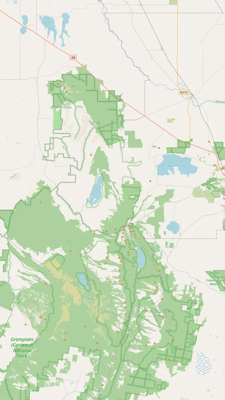
Google MapsMap data from © OpenStreetMap contributors
Grampians National Park hikes run from a 5-minute stroll to a 164 km trail. This guide grades the walks by effort, with distances, times and the few that a day tour from Melbourne actually reaches.
Editorial team, grampianstour.top · Updated November 7, 2026 · 7 min reading time
Basics
Parks Victoria divides the central Grampians into easy and demanding walks. Its visitor guide puts Lakeview Lookout, Venus Baths, Boroka Lookout, Reed Lookout and the Balconies among the popular walks reached by sealed road between Halls Gap and Wartook, and it ranks Mt Rosea, Mackenzie Falls and the Pinnacle as the harder half-day outings.6 That one sentence is the backbone of every list of Grampians National Park hikes.
The northern part has its own split. The same guide rates Beehive Falls, Heatherlie Quarry and the Ngamadjidj and Gulgurn Manja Shelters as the easier northern walks, and Hollow Mountain, Mt Stapylton and Mt Difficult as tougher and more remote.7 The day tours compared on this site stay in the central area.
Numbers differ between sources, so this guide gives each one with its source. Where Parks Victoria and Grampians Tourism disagree, both figures appear, and where they match, the figure stands alone. Treat every distance and time here as a planning guide, and check the park's change-of-conditions notice for closures before you set out.
The walks graded
| Walk | Distance | Time | Effort |
|---|---|---|---|
| Boroka Lookout | Short stroll1 | 5 minutes1 | Easy, accessible1 |
| Venus Baths loop | 2.3 km8 | Not stated8 | Flat, easy8 |
| The Balconies | 2 km on18 | Not stated18 | Relatively easy18 |
| The Pinnacle, Sundial | 4.2 km return2 | 1.5 to 2 hours2 | Rock hopping2 |
| Mackenzie Falls base | 2 km return9 | 30 minutes down10 | 260 steps9 |
| Wonderland Loop | 10 km3 | Not stated3 | Strenuous3 |
| Mount Rosea | 12 km return19 | 4 to 5 hours19 | Medium, strenuous20,19 |
Grampians Tourism's own Mount Rosea page gives 8.6 km return in its description and 12 km return in its details panel, so the figures disagree; the row uses the details panel.20,19
The gentlest Grampians National Park walking tracks are lookout strolls. Boroka Lookout is a 5-minute stroll to two viewing platforms and suits people with limited mobility, and Parks Victoria says it is 15 km from Halls Gap.1,11 The path to Reed Lookout is well kept and open to wheelchair users.12
The Venus Baths loop is the flat walk in town. Grampians Tourism describes a 2.3 km track starting in the centre of Halls Gap, crossing Stony Creek at a small bridge, with rock pools to splash in during warm months.8 Parks Victoria calls Venus Baths a delight for all, with its spa-like rock pools.13 It is the walk to choose when the weather is warm and the group wants something that is part stroll and part paddle, with no climbing at all.
Mackenzie Falls has an easy version too. Parks Victoria lists a 1.9 km return lookout walk that is wheelchair friendly, and Grampians Tourism gives a 1 km path to the viewing platform.14,10 These are the walks to choose with young children, older relatives or a short window of time. They also make a sensible warm-up on the first day of a longer stay, before you commit your legs to something steeper. All the Mackenzie Falls walks are closed for construction from 9 February 2026 to the end of 2026, according to Parks Victoria.15,16
The Pinnacle from Sundial carpark is the benchmark half-day walk. Parks Victoria gives 4.2 km return and 1.5 to 2 hours, with some water crossings and rock hopping, so sturdy shoes are essential.2 That makes it a half-day outing and not an afternoon stroll, and the water crossings can change with the season. Grampians Tourism calls the Sundial route the easiest and the best with young children in the group.21
A more challenging route starts at Wonderland carpark and climbs through the Grand Canyon, while an extended walk from the Halls Gap caravan park takes about 5 hours return.22,23 The Balconies are a relatively easy 2 km walk on from the car park shared with Reed Lookout.18 Those are three very different ways of reaching a view, and the right one depends on how much time and energy you have.
The falls ask more of your legs than the lookouts. The Mackenzie Falls base walk is 2 km return with 260 narrow steps, and Grampians Tourism puts the descent at 30 minutes one way.9,10 Climbing back out is the hard part, so allow time and carry water. Take your time on the steps and let faster walkers pass, since the descent is narrow and the stone can be wet.
A short chooser
Answer by your legs and your time, and see which walk the figures support.
If I have a few minutes
Boroka Lookout
It is a 5-minute walk to two viewing platforms.1
If I have young children
The Sundial route or Venus Baths
The Sundial route suits young children, and Venus Baths is flat.21,8
If I want the famous view
The Pinnacle
It is 4.2 km return and takes 1.5 to 2 hours.2
If I want a hard day
Wonderland or Stapylton
If I use a wheelchair
Reed Lookout or the falls lookout
Parks Victoria and Grampians Tourism describe both paths as wheelchair friendly.12,14
Three levels
Anyone can go
Lookouts and Venus Baths
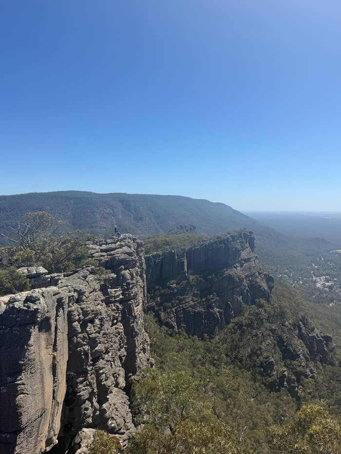
Half a day
The Pinnacle and the falls
Fit walkers
Wonderland, Stapylton, Rosea
The Wonderland Loop is not a stroll. Parks Victoria describes a strenuous 10 km walk out of Halls Gap that covers the highlights of the Wonderland Range.3 The Mackenzie River walk is 7 km return, with Fish Falls at 4 km return, and may involve crossing water, hopping from rock to rock and some scrambling.17 It is a walk for the fit, and it rewards them with water views well away from the roadside lookouts.
Mount Stapylton is a 12 km strenuous return walk from Stapylton Campground in the north.4 Mount William, the highest point in the Grampians, is a steep climb from its own carpark, and a ridge walk of this kind is best saved for a clear day.75 Mount Rosea follows part of the Grampians Peaks Trail, and the Grampians Tourism page gives 8.6 km return in its description and 12 km return, 4 to 5 hours, in its details panel.20,19
Treat these as full days or long half days for fit walkers. The Mount Rosea walk was among the areas Parks Victoria listed as reopening after the 2024-25 fires.76,77 Fire damage closed some other tracks, such as the Chimney Pots Walk, which the park page still listed as closed on 7 November 2026 after bushfire damage, so check the notice for the walk you want.71,78 A hard walk is a poor place to meet a closed gate, and the notice takes a minute to read before you leave the car.
Work out the bill
Pick the party size and see the from price of each guided day.
Compare all 4 options
Pick the party size and see the from price of each guided day.
≈
View≈
View≈
View≈
ViewStarting prices as on the booking platform, converted at the ECB reference rate. You see the exact price at booking.
A ladder of effort
5 minutes
A short stroll to two viewing platforms.1
Flat loop
A 2.3 km flat track from the centre of Halls Gap.8
1.5 to 2 hours
A 4.2 km return walk from Sundial carpark.2
30 minutes down
Half a day or more
A 10 km strenuous walk from Halls Gap.3
13 days
A 164 km trail that can also be walked in sections.5
A day tour reaches the short walks only. The Viator itinerary gives a 30-minute walk to Silverband Falls on an easy-grade track, a 30-minute Grand Canyon walk, 10 minutes at Reed Lookout, 35 minutes at The Balconies and 10 minutes at Boroka Lookout. The Grand Canyon walk includes rock hopping, steep sections and gravel. The short stops make the day a taster of the walking, and a keen hiker will want more time on the track than a tour can give.
The 12-hour hiking day compared on this site names Boroka Lookout and MacKenzie Falls, and its listing says the tracks may have short steep sections, a rough surface and many steps. Another 12.5-hour day names Reeds Lookout, Boroka Lookout, The Balconies and MacKenzie Falls. Both are guides to the short and the medium walks, and neither is a way to reach the long ones.
No day listing here names the Wonderland Loop, Mount Rosea, Mount Stapylton or Mount William. For those, you need a car, a guide for a private day or a night in Halls Gap, which the page on the gateway town covers. Walkers can start on foot from Halls Gap itself, with Venus Baths, Clematis Falls, Boronia Peak, Chatauqua Peak, the Pinnacle, Wonderland and Boroka Lookout all within reach of town.79
Video
Pavo TREKS on YouTube · Video data is requested only when you tap play.
Popular walks accessible via sealed roads between Halls Gap and Wartook include Boroka Lookout, Reed Lookout, the Balconies, Lakeview Lookout and Venus Baths.
Before you walk
The Grampians Peaks Trail is the long answer. Parks Victoria gives 164 km, over 13 days and 12 nights, from Mt Zero in the north to Dunkeld in the south, and it can be walked in sections.5 A section of the trail starts at Halls Gap, so a night in town can fit a taste of it. Even a half-day on the trail gives a sense of why walkers come for the whole route.
If you are looking for things to do in Grampians National Park besides walking, Parks Victoria lists lakes with access for fishing, canoeing, kayaking or sailing, namely Lake Wartook, Lake Bellfield and Moora Moora Reservoir.80 It also describes a scenic car tour out of Halls Gap that stops at Boroka Lookout, the Balconies, Mackenzie Falls and Zumsteins.81
Whatever you pick, walk safely. Parks Victoria advises carrying a quality map, plenty of water and food, sturdy shoes, a hat, sunscreen and a small first aid kit, and finishing walks well before dusk.68,69 Phone signal is missing in many parts of the park, so tell someone your plan before you leave.70 Download your map before you set out, since a signal cannot be assumed on any of the tracks in this guide.
FAQ
It is a 5-minute stroll to two viewing platforms, suitable for limited mobility.1
That is the Parks Victoria figure for the route from Sundial carpark.2
Grampians Tourism describes a 2.3 km flat track from the centre of Halls Gap.8
Parks Victoria says it starts in Halls Gap and takes in the Wonderland Range.3
That is the descent to the base of the falls on a 2 km return walk.9
It runs from Mt Zero in the north to Dunkeld in the south, and can be done in sections.5
The itinerary names Silverband Falls, the Grand Canyon, Reed Lookout, The Balconies and Boroka Lookout.
Sources
Further reading
Questions about the Grampians day? A real person answers here.